My Dad was a land surveyor and a bit of a mountain man. He knew the names of the local mountains, the passes, valleys, hills and creeks. When you went somewhere with him, you’d go through Panther Gap, up Pig Run, down Crooked Spur or over to Windy Cove. In the early days, everyone knew the names of local landmarks, you had to, or you’d be in trouble.
Horseman and rancher William Gay wrote about traveling through Brown and Coleman Counties the old way, using landmarks. In an article entitled Open Range Sketches, published in the February 1937 edition of Frontier Times Gay said, “Wire fences and enclosures in connection with the railways, highways and the motor cars have made the major changes. As we now travel we are directed to go so many blocks or miles, and then turn to the right or left as the case may be, and then take highway so and so, and drivers are kept busy watching road signs, cars, etc., scarcely thinking of direction or knowing points or rivers passed. In the ‘open range’ days a traveler had to get and keep his ‘bearings’ regardless of high or low points and be conscious continually as to the four points of the compass, otherwise, as hunters, army and other men know, a traveler was lost, and often death or suffering ensued.”
“Now on highways, the highway signs direct one day or night,” Gay continued. “As it was in trailless days, the landmarks or a keen sense of direction directed one to his destination. For instance, if a rider was leaving Brownwood or that region for Fort Concho, he was directed westward, out by Santa Anna Mountains, and on west by Bead Mountain, and then a southwest, course, like the crow flies, straight, ahead. Hence, such things were most important to the traveler on his way.’”
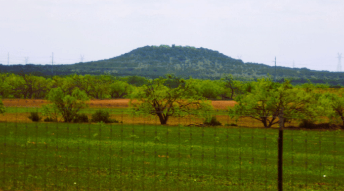
If you tried now to tell someone how to get from Brownwood to San Angelo only using landmarks and compass directions, most people probably wouldn’t know how to navigate. Does it matter any longer what a lone hill is called, or the fact that the empty looking ditch you cross over without ever really noticing it has a name? It does to me. I guess it’s partly because I grew up with a parent who always knew and used the old place names, partly because I read endless cowboy books as a kid. In a cowboy story, landmarks are king. If you don’t know in your mind where Boot Hill is from the home place and town, the story won’t make sense.
I learn as many of the old place names as I can (a good topographic map can really lend a hand here). I’m thinking Bead Mountain is called that because you could get a good bead on where you were if you could spot it. We have Star Mountain, Salt Mountain and the Hog Mountains, just to name a few out near Blanket. I wonder why Star Mountain is called what it is? Probably has to do with being on the way to Rising Star, but it’s so much more evocative to say you’ve been out to Star Mountain than it is to say a road number. Country music songwriters know this is true.
I think the old names matter on another level besides directing travel and writing country lyrics. The names of places tell part of their story. They are often called after early settlers, ranches, or even a memorable event that took place in the area. I like to listen to old timers talk, and one of the reasons for that is that they often use the old place names. It gives a sense of meaning to the land, a reference for knowing it more intimately. I love that. I think the land carries some memories, faint impressions from people and events that came before we did, and I think that names matter. By living in a place, the names of surrounding features, and along with that perhaps something of the land itself, slowly become a part of who we are as well.
***
Diane Adams is a local journalist whose columns appear Thursdays on BrownwoodNews.com
