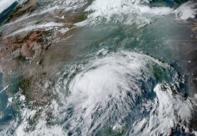
Brown and neighboring counties saw a few showers and thunderstorms Monday afternoon, courtesy of moisture from Tropical Storm Nicholas. According to KOXE Meteorologist Randy Turner, “for the Brown County area, the main impact we will see will be isolated showers Monday evening, wind from the East at 10 to 15 mph Monday night and slightly cooler temperatures again Tuesday, with highs in the upper 80’s. ”
As of 5:30 pm Monday, Tropical Storm Nicholas was 70 miles south of Port O’Connor or 85 miles southwest of Matagorda, Texas. The storm was producing maximum sustained winds of 65 mph and moving toward the northeast at 12 mph. The storm is forecast to make landfall tonight (Monday) somewhere near Port Lavaca to Lake Jackson, then hug the coastline through the Houston/Galveston area. There is an overnight heavy rain and flash flood threat for southeast Texas, including Houston, Galveston and Beaumont/Port Arthur where 5 to 10 inches of rain is projected to fall.