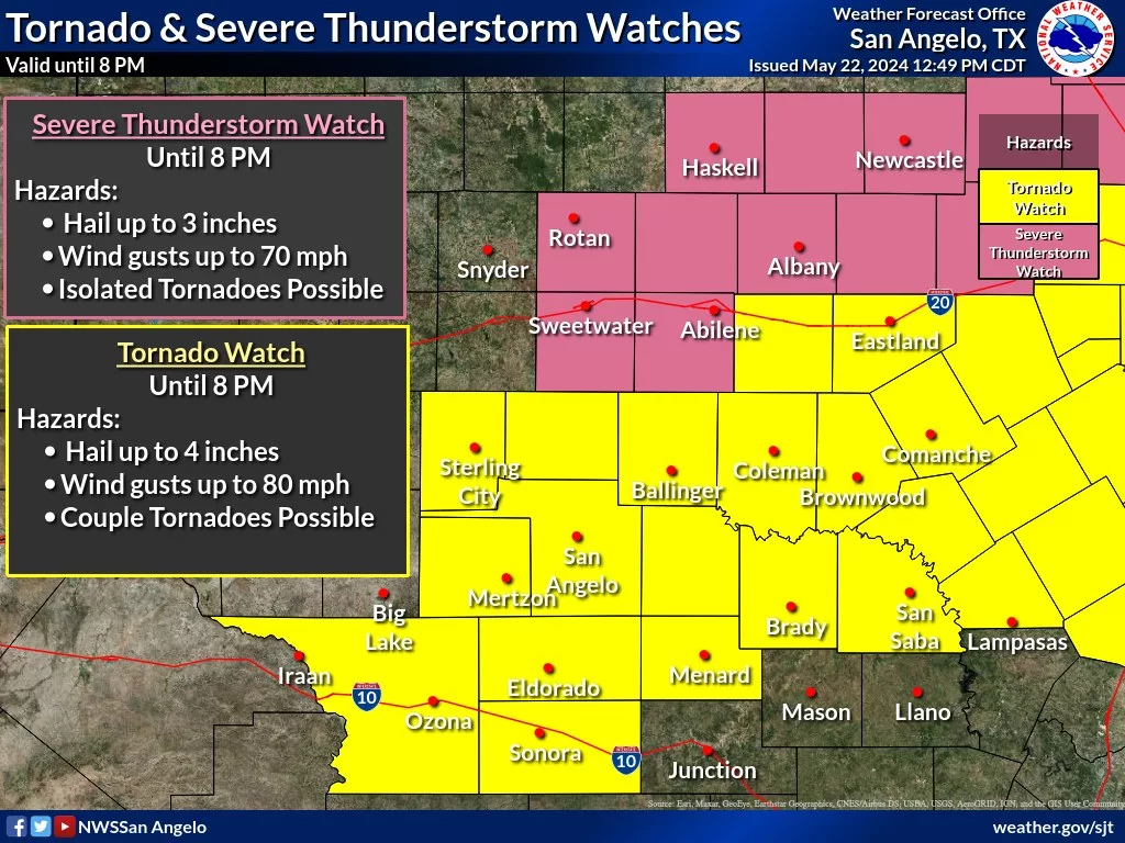
Brown County and the surrounding area is under a Tornado Watch until 8 p.m. Wednesday.
According to the National Weather Service, scattered severe thunderstorms will develop along a cold front across the Big Country early this afternoon. The storms will move southeast across the remainder of west central Texas during the afternoon to along the I-10 corridor by early evening.
The initial severe storms will have the potential to produce very large hail, larger than golf ball size, and isolated tornadoes. Then damaging winds will become more of a hazard as the storms congeal into a few complexes.
Keep up with the latest weather information and have many ways of receiving warnings.